Data Collection and Processing with Unmanned Aerial Systems
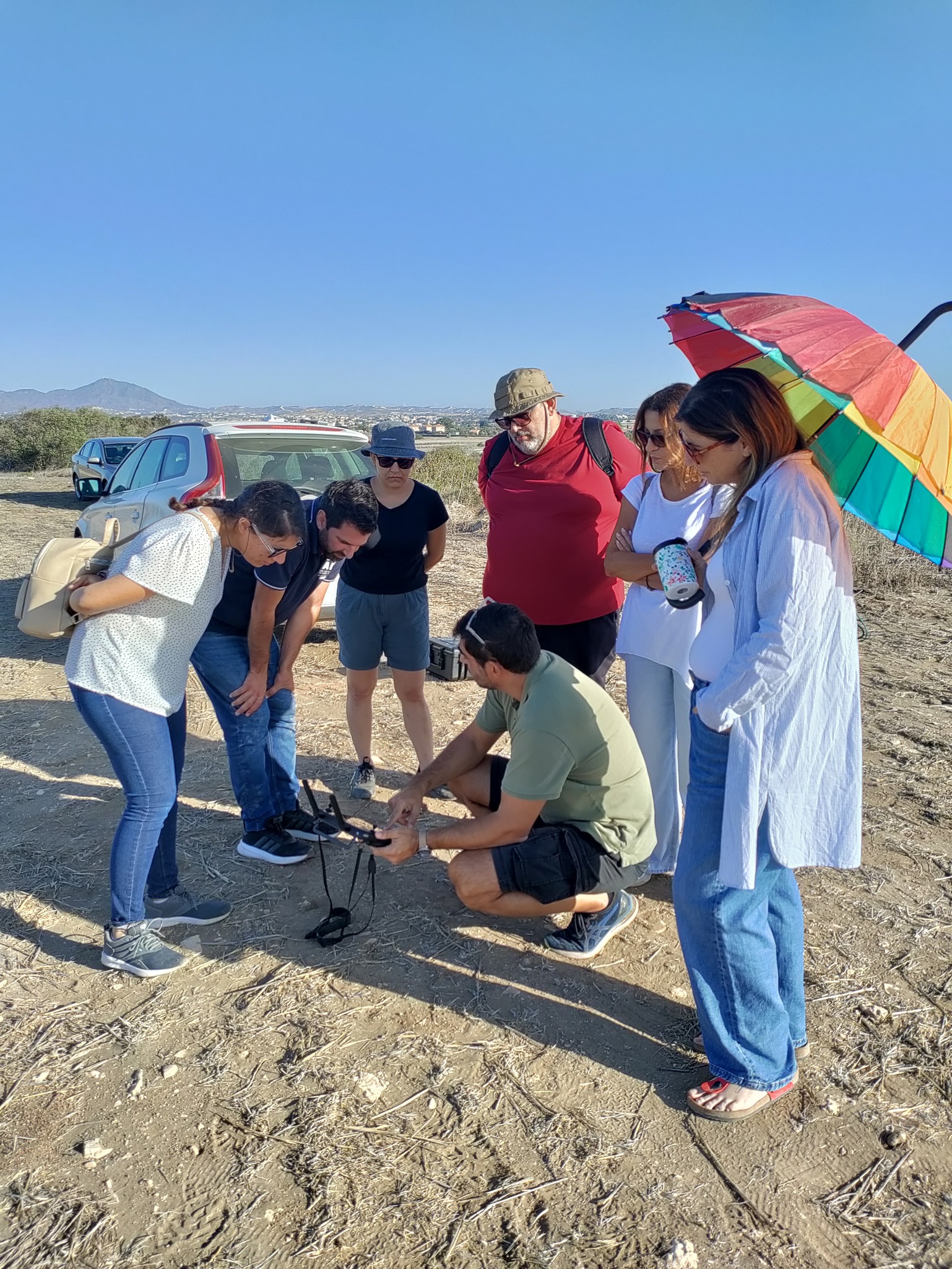
In the era of digital transformation, aerial intelligence is reshaping how we understand our physical world. This track leverages the power of Unmanned Aerial Systems (UAS) to provide specialized training in remote sensing, photogrammetry, and 3D geospatial modeling for precision engineering and environmental monitoring.
Move beyond traditional surveying methods. Acquire the technical expertise to plan flight missions, process complex multispectral data, and generate high-precision digital twins that drive decision-making in agriculture, construction, and crisis management.